
The region remains under an intense, long-duration heatwave with record-breaking temperatures that are highly probable, yet there’s a bit of relief in sight, according to the National Weather Service.
Despite dry air allowing for cooler nights, overnight lows remain 10-15 degrees above normal, exacerbating the heat threat, especially for those without air conditioning. A gradual cooling trend is expected to begin on Friday and continue through the weekend, with high temperatures by Sunday projected to be only 3-5 degrees above normal.
With this slight “cool” down, winds will increase significantly. Afternoon breezes with gusts of 20-25 mph through Wednesday will ramp up to 25-35 mph by Thursday and Friday, persisting through the weekend. These winds heighten fire weather concerns due to the extremely hot and dry conditions.
Fires in California, Oregon, and Nevada are bringing areas of smoke and haze to our region. The densest smoke is near the Oregon border and around the Royal Fire in the Tahoe National Forest. Fire activity in the coming days will determine the extent of smoke and haze.
The heat and dry conditions mean it takes very little moisture to trigger a stray shower or thunderstorm. There’s a 10-15% chance of this in Mono and Mineral Counties this afternoon and evening, with similar chances through Thursday. By Friday and through the weekend, increased moisture raises storm chances to 15-25%, with higher probabilities moving from south to north. While these conditions typically indicate wetter storms, the current hot and dry spell could lead to dry lightning strikes, posing further fire risks along with gusty and erratic outflow winds.
Stay updated and take necessary precautions during this extreme weather period.
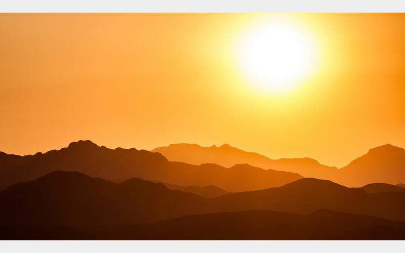
Photo by Andrey Grinkevich on Unsplash


