
The Reno National Weather Service forecasts an increased risk of thunderstorms early this week. These storms are expected to bring little to no rainfall as they move into neighboring Nevada. They are expected to produce heavy downpours, which may lead to flash flooding in the northern part of the state.
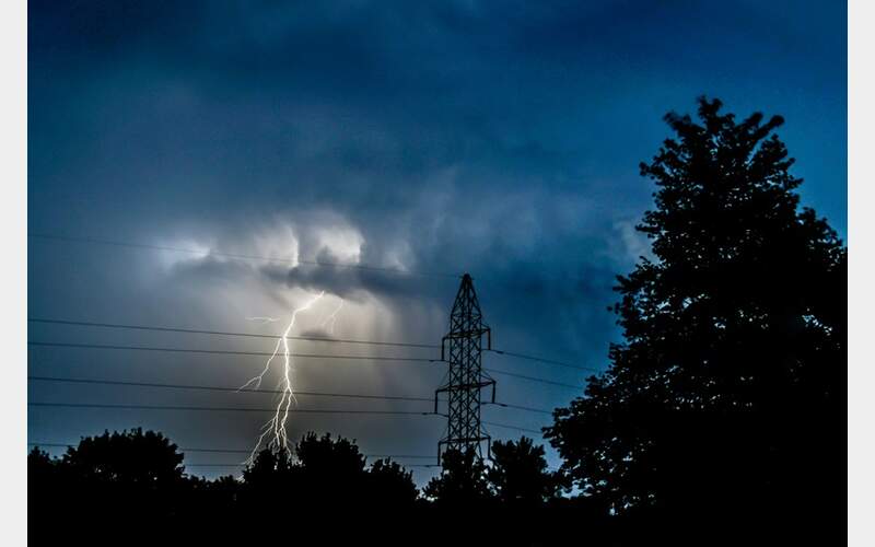
The dry lightning across our region has heightened concerns for wildfires, as consecutive 100-degree-temp days have significantly dried out fuels. Just a week ago, firefighters responded to multiple starts from Big Valley to Modoc and in the Plumas and Lassen National Forests from lightning storms. Swift response has kept those fires minimal, allowing quick containment.
Fortunately, thunderstorm activity is expected to decrease by Thursday, bringing cooler temperatures.
In the meantime, you will continue to see haze on the horizon from wildfires burning in Canada and Oregon, along with active fires in northern California. Forecasters predict that smoke will remain visible for several days.
Current air quality conditions are moderate across our region. Those with sensitivities should limit outdoor activities.
To check the air quality in your area, visit airnow.gov
Photo by American Public Power Association on Unsplash


