
Every wonder why during a fire there is plane flying around the fire? CalFire states that every decision in a wildfire fight depends on good intel. Specialized aircraft are the eyes in the sky that keep firefighters safe and communities protected by mapping fire behavior in real-time from above.
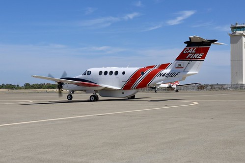
CAL FIRE operates specialized aircraft known as intel planes (Intel 641) that are equipped with advanced cameras and sensors designed to capture real-time data.
Onboard, a trained sensor operator maps the fire from above, taking both standard and infrared images. The infrared cameras can detect heat that isn’t visible to the eye and see through thick smoke, revealing hotspots and fire movement hidden below.
This imagery allows analysts to draw accurate fire perimeters and track where the fire is spreading. The information is relayed directly to Incident Commanders, giving them the intelligence needed to make informed decisions about where to send resources, how to plan evacuations, and how to keep firefighters safe on the ground.
Paired with advanced 3D mapping, intel planes provide the big-picture view of a wildfire. They are a critical tool that helps CAL FIRE fight fires smarter, protect California communities more effectively, and keep the public informed via the incident map at Fire.ca.gov.


